Map of Omaha Beach
Item
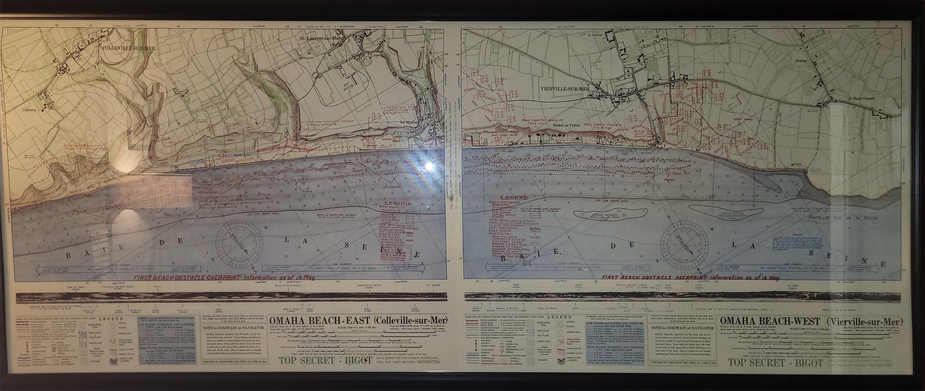
- Title
- Map of Omaha Beach
- Description
-
Map of Omaha Beach used during the planning of Operation Overlord and the Invasion of Normandy. Paper.
Written with black, red, blue, green, and brown ink. - Language
-
English
French - Format
- 74 in X 31 in.
- Creator
-
Joseph P. Vaghi, Jr.
Recreation made in Bucharest, Romania - Date Submitted
- 2023-09-11
- Subject
- WW2
- Rights
- All rights belong to Joseph P. Vaghi, Jr., his family, and the Library of Congress.
- Item sets
- Jonathon Zorn's Items
- Media
 Omaha Beach Map